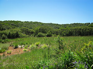
| The Springbrook Plateau is a world heritage area. The plateau is part of the Tweed volcano that extends from Mt Warning. The Plateau is significantly different to the Lamington and Beechmont Plateaus. Parts are less eroded and have the highest rainfall of any area between the Wet Tropics and Tasmania. The area is a hot spot of threatened biodiversity. The climate is tempered by the altitude and maritime influences. It is now topographically and biologically isolated — a biogeographic island. A number of plant species are restricted to Springbrook.
The overall aim of the Springbrook Rescue is to restore rainforest on cleared areas and re- create links between sections of the national park, thus creating a more viable World Heritage Area and one which provides a greater potential for its flora and fauna, especially ancient lineages, to survive the impacts of future climate change. The Queensland Government bought back a number of properties. The Australian Rainforest Conservation Society (ARCS) has also purchased property and is managing the project. A major part of the project is the study of how best to restore the land. Establishing baseline data for fungi is an important part of the project. A system of wireless sensors has been installed to monitor rainfall, wind and other parameters. The forests of Springbrook National Park are subtropical, warm temperate and cool temperate rainforests, open eucalypt forest and heath land. QMS began surveying Springbrook in 2008, an initial foray in May was followed by another in November, dry conditions in 2009 saw that years survey cancelled. The next foray was in March 2011. Four sites have been surveyed:
|
|

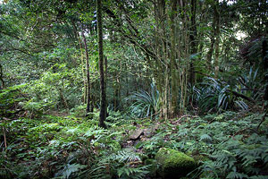
Some Springbrook Fungi


(© Klaus Querengasser)

(© Megan Prance)