The term Chermside Hills may be understood in two ways – the reference to the hilly western regions of the suburb or to the largest of the three reserves, Chermside Hills, Raven St and Milne Hill. QMS forays could be held in any part of the three reserves.
The Greater Brisbane area exhibits the most complex geology of all the State capitals. The Chermside Hills district is dominated by the complex metamorphics of the Neranleigh Series, principally the Bunya Phyllites. In addition, the Brisbane Volcanic Tuff (rhylotic ignimbrite) is well demonstrated on a north west to south east corridor. A minor sedimentary series of ferruginous conglomerate is visible in all three reserves.
The terrain is determined by extensive folding in several directions giving rise to hills and steep gullies, some frequently holding water. A watershed separates the two catchments – Cabbage Tree Creek to the north in two branches embracing Chermside Hills Reserve, with Downfall Creek to the east of Raven Street Reserve.
The vegetation consists of mixed sclerophyll open woodland of Eucalypts, Corymbias, Angophoras, Allocasuarinas and Xanthorrhoea johnsonii; slopes and gullies of shrubs and ferns; some ridge and slope heaths and rainforest types along the creek lines.
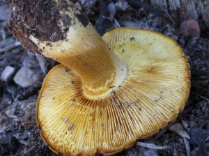
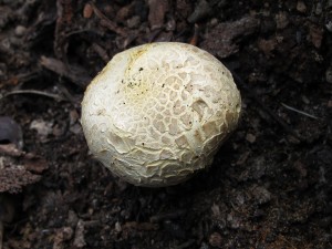
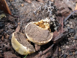
Many fungi of different types have been observed in these areas. However, rapid drainage and drying of slopes results in short periods of myco-friendly conditions in the absence of heavy seasonal rains.
Survey dates: 10 March 2007, 5 January 2008, 25 April 2009, 27 March 2010, 31 March 2012, 18 May 2013, 23 May 2015, 26 February 2016, 26 January 2017.
Some Chermside Hills Fungi


